Thomaston Dam
16 mi west · US Army Corps of Engineers
The Vista picnic area offers visitors excellent views of the dam and portions of the Naugatuck River Valley. The streamside environment is popular for fishing and upland game hunting.
Outdoors
Refuges, lakes and wild areas near West Hartford for wildlife viewing and birdwatching.
Good to know: Early mornings and evenings are best for wildlife; bring binoculars and keep a respectful distance.
16 mi west · US Army Corps of Engineers
The Vista picnic area offers visitors excellent views of the dam and portions of the Naugatuck River Valley. The streamside environment is popular for fishing and upland game hunting.
18 mi southwest · US Army Corps of Engineers
This shallow 40-acre lake and streamside environment provides excellent hiking, hunting, canoeing and fishing opportunities. The feeder streams and lake are stocked with brown, brook and rainbow trout by the State.
18 mi west · US Army Corps of Engineers
Northfield Brook Lake is a scenic day use park with a swim beach, horseshoe pits, picnic shelters, tables and fire grills located throughout the park. The 1.7-mile-long self-guided hiking trail winds throughout the park.
Map of 30 places loads as you scroll.
The Vista picnic area offers visitors excellent views of the dam and portions of the Naugatuck River Valley. The streamside environment is popular for fishing and upland game hunting.
This shallow 40-acre lake and streamside environment provides excellent hiking, hunting, canoeing and fishing opportunities. The feeder streams and lake are stocked with brown, brook and rainbow trout by the State.
Northfield Brook Lake is a scenic day use park with a swim beach, horseshoe pits, picnic shelters, tables and fire grills located throughout the park. The 1.7-mile-long self-guided hiking trail winds throughout the park.
Northfield Brook Lake Group Shelters are located along a small scenic lake in the Naugatuck Valley of west-central Connecticut.
Black Rock Lake is located next to Black Rock State Park. A portion of the 35-mile-long Mattatuck Blue Trail System crosses through the reservoir. The 21-acre lake is open seasonally for fishing and non-motorized boating.
The 700-acre lake is open seasonally for fishing and boating and has a large boat ramp available. The lake and river are stocked with trout by the State.
Hop Brook Lake is a popular day use park with swimming and picnicking facilities, athletic fields, picnic shelters and over 7 miles of hiking trails winding through the woods and fields.
Hop Brook Lake Recreation Area is located within the towns of Middlebury, Naugatuck and Waterbury, Connecticut. Its 536 acres provide excellent recreation opportunities and a chance to escape from the growing suburbia surrounding the park.
Recreation facilities at this Corps-owned project are managed by the State. Free boat launching and excellent bass and pike fishing opportunities keep the 450-acre lake popular with local residents.
Horseback riders, mountain bikers, hikers and cross-country skiers will enjoy the miles of trails in the area.
The launch boat ramp (10-hp limit) provides anglers easy access to the stocked brook, rainbow and brown trout, in addition to the native populations of warmwater fish.
Stewart B. McKinney National Wildlife Refuge is comprised of 10 units stretched across 70 miles of Connecticut's coastline. It was established in 1972 and was originally called Salt Meadow National Wildlife Refuge.
Fly fishing is popular in the Little and Westfield rivers where brown, brook and rainbow trout are stocked by the State. The Claude M. Hill Horse Trail provides horseback riding.
Popular with summer and winter park visitors alike, this area offers year-round opportunities.Enjoy the swimming beaches, boating, fishing, picnicking, hiking and canoeing during the summer.
With abundant wildlife, lush scenery and waterfront views, Indian Hollow Group Campground, located at the Knightville Dam and Reservoir, offers groups and clubs a recreational oasis.
The developed, handicapp accessble park includes a 3-acre athletic field popular with softball and soccer players and kite flyers.
This 200-acre lake is popular with bass fishermen and anglers of all ages alike. The seasonal campground offers some sites with water and electricity, hiking trails, restrooms with showers, group picnic shelters and hunting (seasonally).
Recognized as the Project of the Year 2000, this 200-acre lake offers state-of-the-art facilities for the latest recreational pursuits including BMX-style bike jumps, mountain bike trails and an 18-hole disk golf course.
In 1958 the U.S. Army Corps of Engineers built Buffumville Dam in Charlton, Massachusetts to provide flood risk management for downstream communities.
Visit the home and studio of America's most beloved Impressionist, J. Alden Weir, and walk in the footsteps of generations of world-class artists.
Canoe launch and parking areas provide access to the French River above and below the dam. Over 15 miles of trails are maintained.
Established in 1954, the Elizabeth A. Morton National Wildlife Refuge protects a 187-acre peninsula on Noyack and Little Peconic Bays.
The Mid-State Hiking Trail traverses the park and provides easy access to this popular local hiking activity. Picnicking, canoeing, fishing and hunting are popular summer sports.
On a quiet back road and across an old fieldstone bridge lies West Hill Park, where the West River widens to form a large, natural pool.
The U.S. Army Corps of Engineers invites you to come relax at Tully Lake. There are a variety of outdoor recreation activities for you and you family.
Edward MacDowell Lake is situated in a quiet corner of the Monadnock Region of New Hampshire.
Otter Brook Lake Recreation Area is a U.S. Army Corps of Engineers day use facility offering many outdoor recreation opportunities everyone can enjoy. The park is located in Keene and Roxbury, New Hampshire.
Surry Mountain Lake Beach is a U.S. Army Corps of Engineers day use facility located on the Ashuelot River in Surry, New Hampshire.
Townshend Lake is a flood control project operated by the U.S. Army Corps of Engineers, serving communities within the West River Valley, and those downstream.
Winhall Brook Camping Area is nestled in the Green Mountains of Vermont along Winhall Brook and the West River, seven miles north of Ball Mountain Lake.
Distances are straight-line miles from the center of West Hartford. Listings come from Recreation.gov’s federal recreation database; check each official page for hours, fees, fire restrictions and closures before you go.

THINGS TO DO · YOUTUBE SHORT
A full walking tour of historic Elizabeth Park and its Helen S. Kaman Rose Garden.
Watch on YouTube ↗
A WALK AROUND TOWN
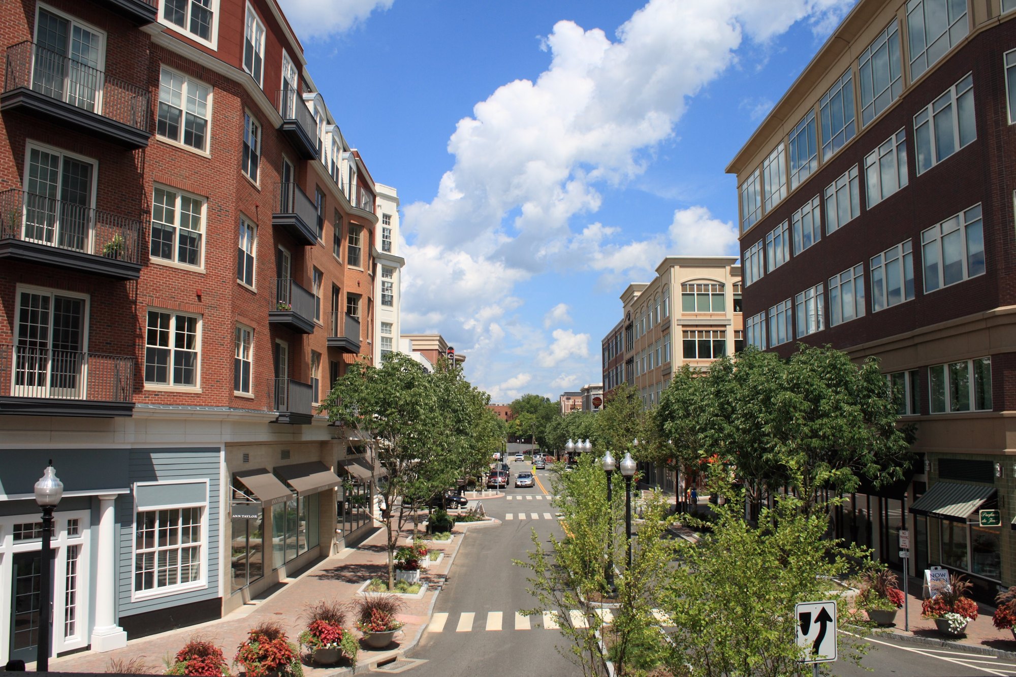
WEST HARTFORD, CONNECTICUT, 4K Walking Tour, Blueback Square and Downtown West Hartford Center.
Watch on YouTube ↗Thomaston Dam (US Army Corps of Engineers), about 16 miles west of West Hartford as the crow flies. Next are Hancock Brook Lake (18 mi) and Northfield Brook Lake (18 mi).
Federal agencies including US Army Corps of Engineers, Fish and Wildlife Service, National Park Service. Each listing links to its official page for hours, fees, closures and current conditions.